Walk, Cycle, Run: Explore our great city, coast & countryside
Come and explore - by foot or on wheels - the city of Lancaster.
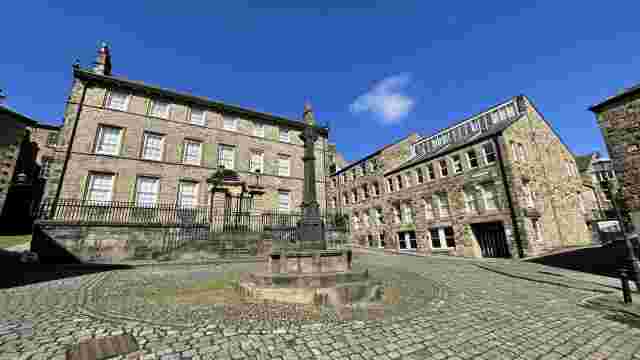
Run 1: Lancaster City 10k running route
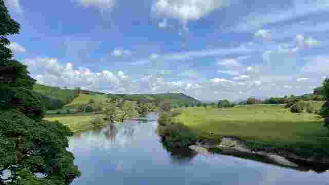
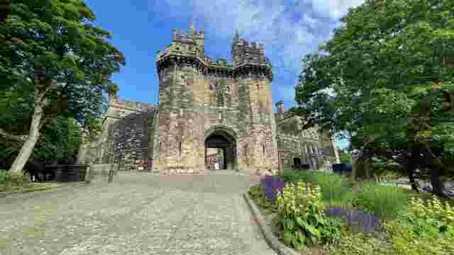
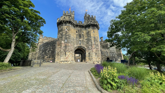
This scenic and largely traffic-free 10k route starts at the Castle and follows the River Lune out of the city centre, crossing the river twice before returning to the elevated start point via the canal towpath.
Chance of a Personal Best? Good.
Scenic interest: A historic castle, iconic modern architecture, waterfront views, and mainly traffic-free.
Toilets: St Nicholas’ Arcade, Marketgate, or the Bus Station
Refuelling: A wide choice of cafes and pubs in the city centre – we’d recommend Atkinson’s in China Street or the Sun Inn on Church Street
1. START
From the castle gates, follow the path running round the perimeter left of the gate and continue clockwise around the perimeter and through gates to Priory. Continue past the bell tower at the front of the priory and descend steps onto the path descending towards the river. Continue down steps and straight over onto cobbles, then down more steps onto the quayside. Cross the road and then right onto Millennium Bridge.
2. 0.5 km
Cross to the far side and head right under the underpass then onto the footpath beside Siding Road and past the school. Caution! Carefully cross the road (three lanes of traffic) into the park and follow the loop around the football pitch and playground and Rylands House, then exit via the driveway to cross the busy A6 beside the gatehouse. Caution! Two-way traffic.
3. 1.3 km
Slow down here, navigation is tricky. At the far side of the A6, follow the path uphill past St Luke’s Church, then across the road and half-left past Greg House flats and through the narrow gap down to the riverbank.
4. 1.9 km
Take the right fork and follow the riverside path upstream through the woods. Rejoin the road after woodland and continue upstream on the pavement then right onto the waterside and past the rowing club on the lagoon. Continue upstream on the riverside path for 300m – Caution! This path can get slippery under the trees.
5. 3.2 km
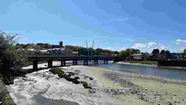
At steps on the left, climb left away from the riverbank and continue upstream past houses and down more steps and over the footbridge to the aqueduct. At the aqueduct, climb steps and turn right up onto the parapet. Continue straight ahead with the canal on the left over the aqueduct.
6. 4.8 km
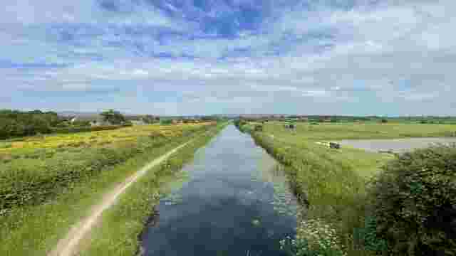
Now follow the canal towpath for approximately 3km through the city centre under several bridges and past the cathedral out to Aldcliffe west of the city centre.
7. 6.8 km
After the cathedral and apartments complex, follow signs for City Loop across the busy road interchange and rejoin the towpath on the far side – but on the left-hand bank. Continue past the Waterwitch pub and at the next bridge, cross and double back to rejoin the right-hand bank signposted City Loop/Aldcliffe Road.
8. 7.8 km
After another 600m, where the canal meanders left, take the second footpath along the gravel path on the right just BEFORE the gatehouse. Follow this track around to the right for 700m, through meadows and skirt right along the edge of the housing estate, keeping right at forks and straight on past the entrance to the nature reserve.
9. 9.3 km
At the road, turn right past the cottage onto the tarmac path past allotments and the playground to the railway. Turn left and follow signs to Westbourne Road on the footpath running alongside the railway. After the entrance to the car park, turn right over the railway bridge then cross the road and head towards the city centre, turning left up Castle Park back to your starting point.